Carinthia: The best hiking trails for your holidays!
Carinthia in the south of Austria is known for its alpine mountain landscapes, beautiful lakes, and a variety of interesting hiking trails. The region on the Italian and Slovenian border is a dream destination for many nature lovers and is rich in exciting routes that you can explore on your own with four-legged companions at any time of the year.
Table of contents
Carinthia - 8 special hiking trails
Three-Lakes Circuit on the Turracher Höhe
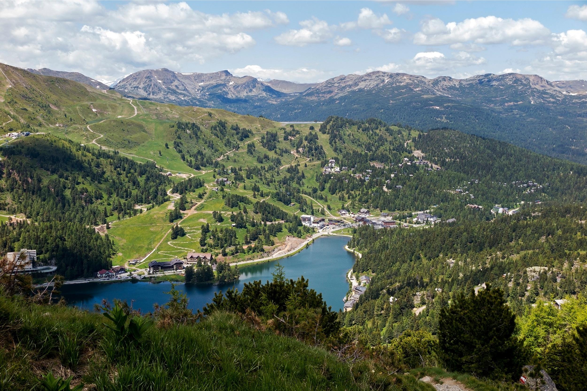
The Turracher Höhe is a beautiful high plateau located amidst the impressive Nockberge mountains in Austria. Here, in addition to the largest contiguous stone pine forests in the country and magnificent alpine flower meadows, are the three picturesque mountain lakes Turracher See, Schwarzsee, and Grünsee. Thus, the high plateau offers a dreamlike alpine world to discover. The Three Lakes Hiking Trail is a relatively easy route of about 7.5 kilometers. It starts at the Turracher Höhe and leads along the enchanting lakes, through beautiful forests and meadows. The start and end point is the Turracher See, so the hike includes only relatively few meters of elevation.
Biosphere Park Nockberge
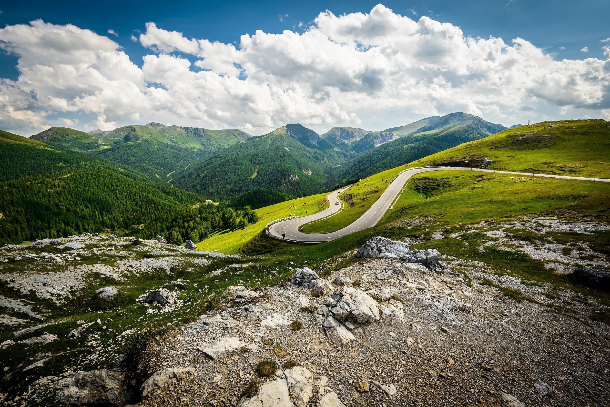
The 2,336 m high Königstuhl is located in the Carinthian Nockberge and is largely covered by alpine meadows. The circular hike from the historic Karlsbad to the Königstuhl takes three and a half hours. The route begins at the parking lot and leads along a stream through larch forest, colorful alpine meadows, and blooming alpine roses to the saddle of the Friesenhals. It continues to the Königstuhlscharte, from where the path leads in switchbacks to the summit of the Königstuhl. The view is breathtaking: let your gaze wander over the Nockberge to the glacier mountains of the Hohe Tauern. The return path goes over the summit ridge to the Karlnock and to the Stangboden.
From the Bertha Hut to the Mittagskogel
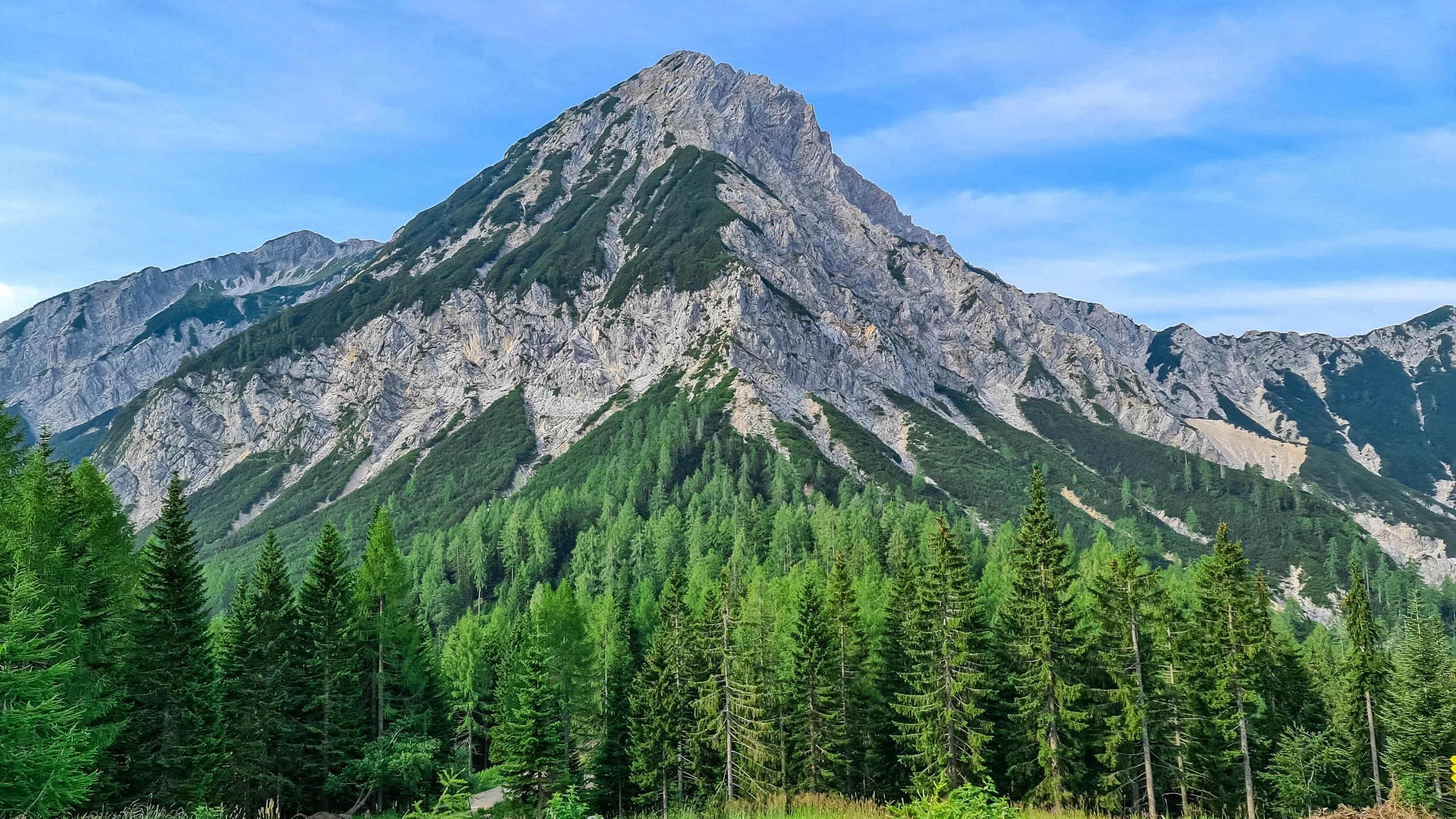
It is best to start your hike at the parking lot of the Berthahütte. You can refresh yourself with regional delicacies in the rustic dining room or on the sunny terrace. From here, follow the signposted route to the Mittagskogel. Initially, the path leads through cool forests until it becomes rocky. The tour now steadily ascends: Hikers often rest on the ridge and let their gaze wander over Lake Wörthersee and the surrounding mountains. You pass through dwarf pine fields and reach the summit after a few minutes. From here, the Carinthian lakes lie at your feet. The return journey follows the same route.
H2O High Altitude Circular Trail
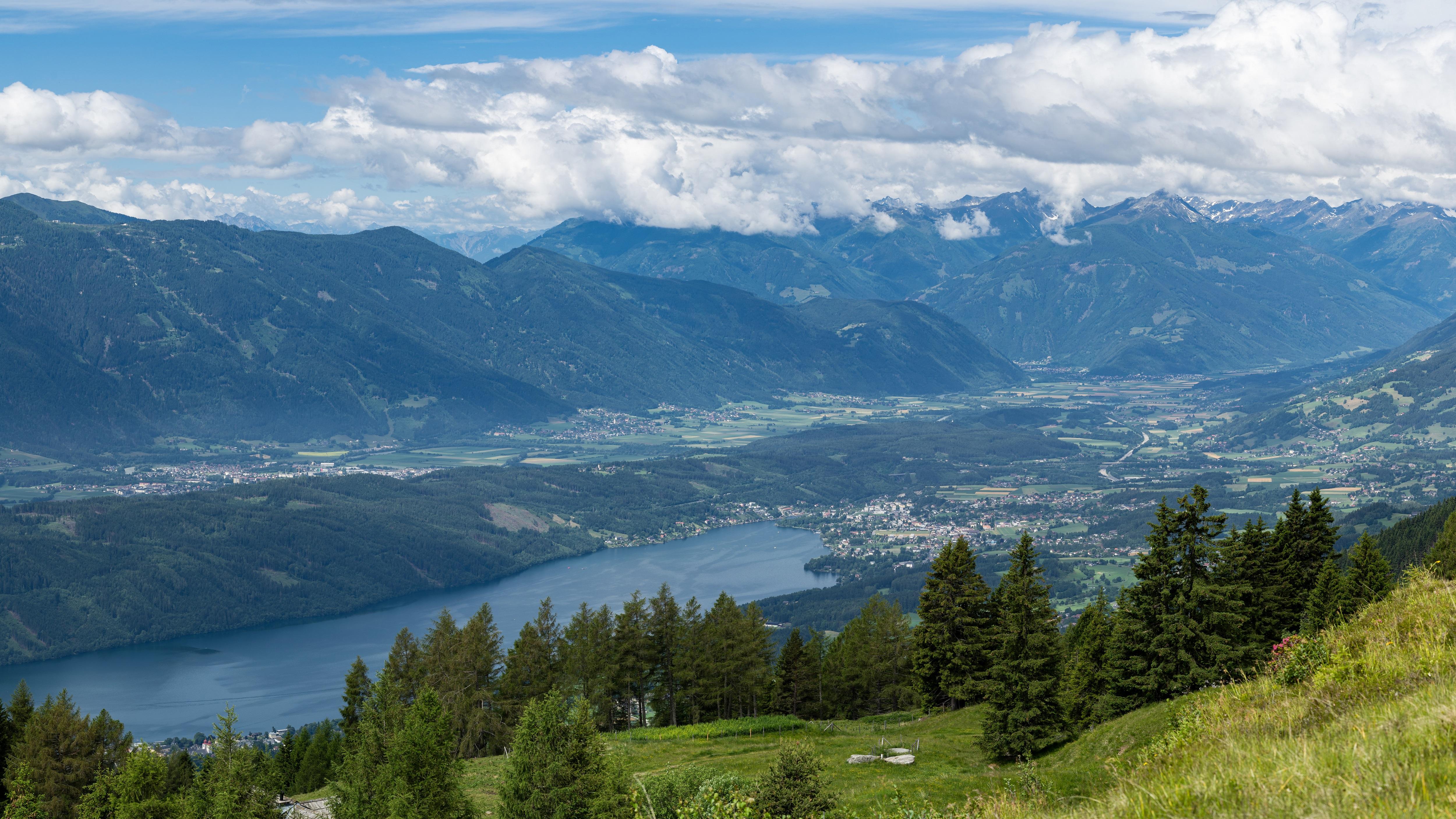
The popular excursion destination is located on the H2O high-altitude circular trail, which leads from the Schwaigerhütte via the Alexanderhütte to the Millstätter Hütte. Great panoramas, gurgling water springs, and a rustic alpine dairy line the path. At the Millstätter Hütte, a water-spouting Nock dragon, exciting climbing stones, and a petting zoo provide entertainment for the little hikers. You can reach the starting point Schwaigerhütte by car from Millstatt on the lake of the same name. From here, it is a 45-minute walk to the Millstätter Hütte. The leaseholders spoil the excursionists with traditional Carinthian cuisine and ingredients from the region. Mountain hikers can climb the surrounding peaks over 2,000 meters high in about an hour.
Dobratsch Hunter's Trail
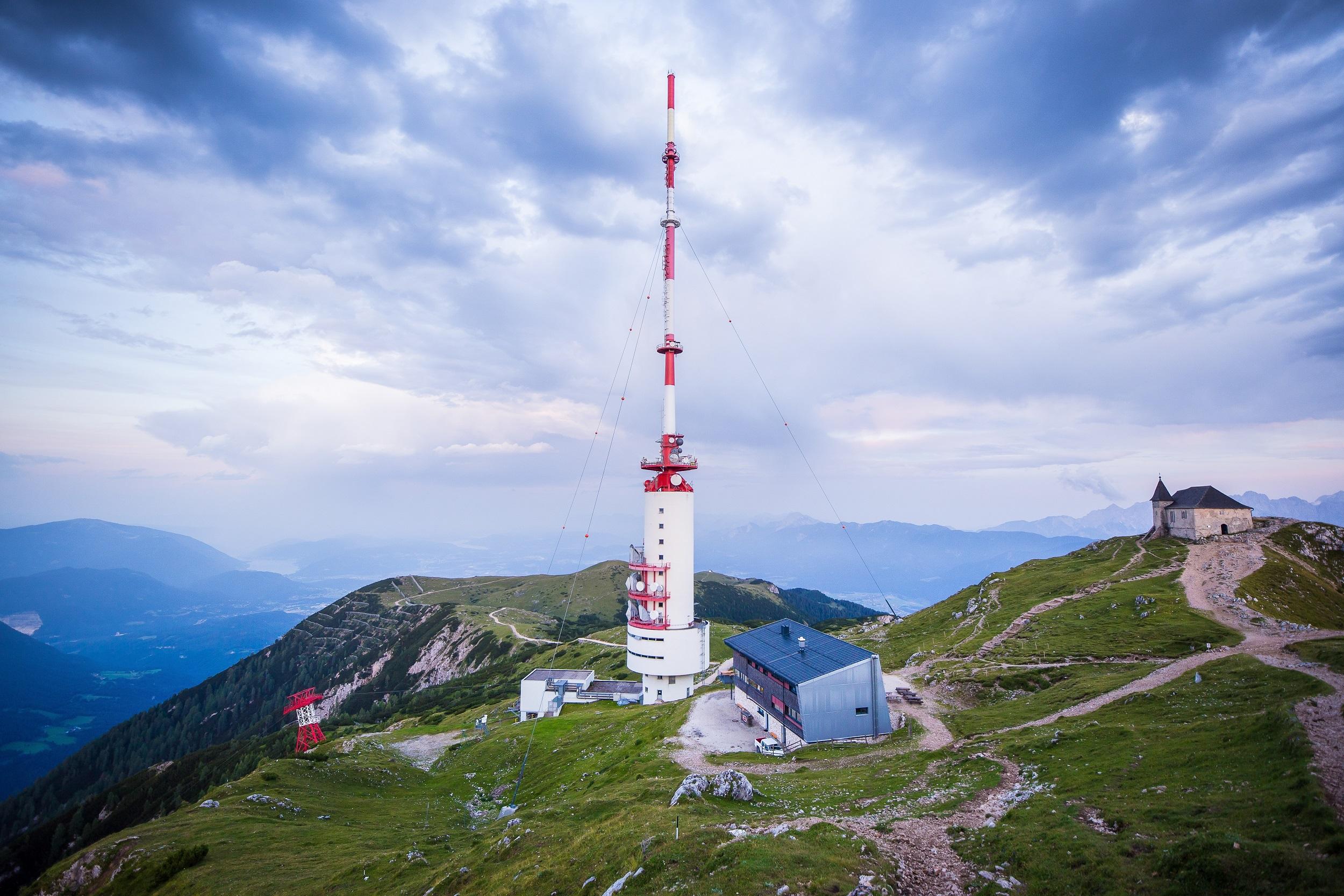
The starting point for the hike on the Jägersteig is the parking lot at the Rosstrattenstüberl. If you want to fortify yourself before the tour, indulge in Kasnudeln and other regional specialties. Then it goes over a pasture towards Gams- and Gipfelblick. The viewpoint is suitable for a break. At the mountain station of the closed cable car, information boards provide details about the history of the mountain. The path marked with No. 294 initially leads to a saddle, then through the Bärengraben. Through dwarf pine fields, it continues to the summit house. The 167-meter-high transmission tower on the Dobratsch can be seen from afar.
Tour to Diesling Lake
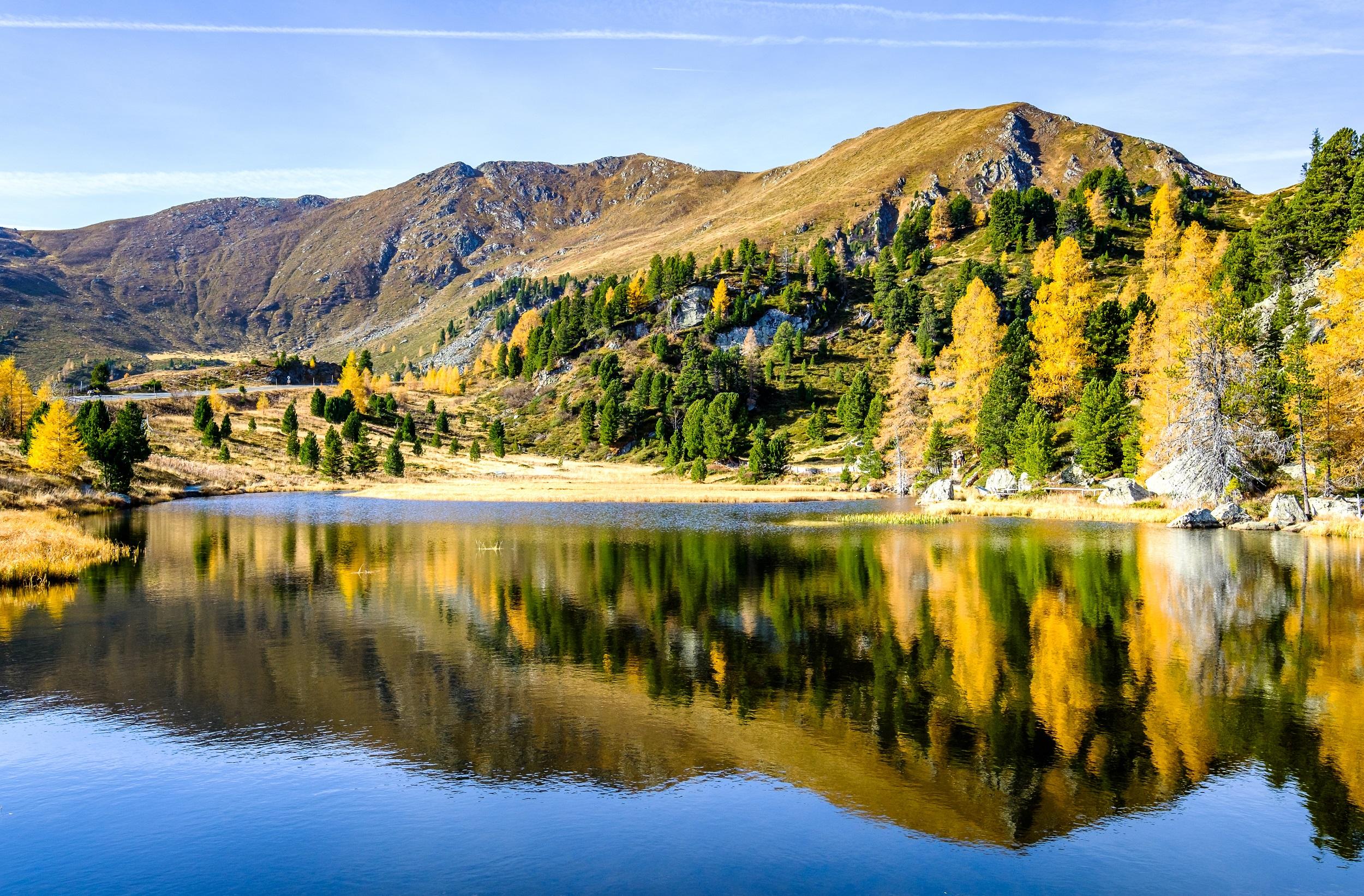
The Alpengasthof Isopp in Flattnitz is the starting point for the extensive hike in the Gurktal Alps. Plan for about six hours of walking time. First, follow the path to the Fürstenhütte. Passing an old lime kiln from the 17th century, you reach a level forest path towards Michelebenalm. Finally, you cross the Carinthian-Styrian border and reach the highest point of the tour at 1,950 meters. From here, you can see the Dieslingsee, framed by romantic rocks. Benches invite you to take a break on the shore of the turquoise waters. Those who wish to refresh themselves can take a plunge into the cold lake.
Hike to the Klagenfurt Hut
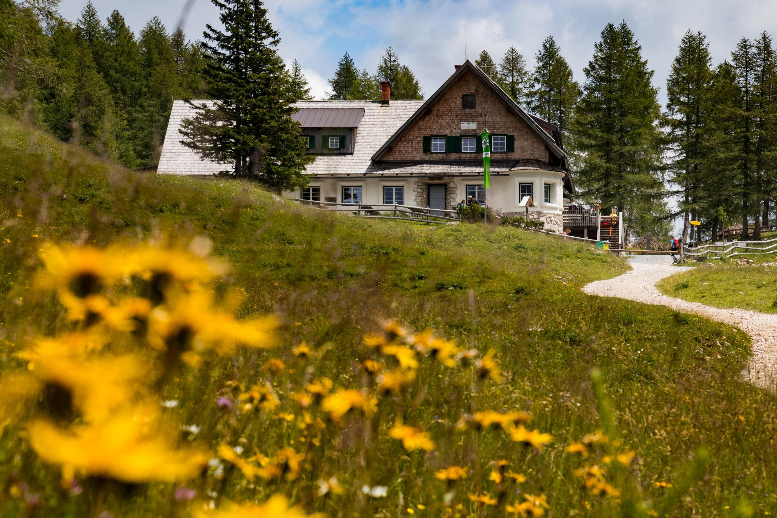
The Johannsenruhe parking lot in Bärental is the best starting point for the hike to the Kärntner Hütte. To reach the hut, simply follow the forest road. Along the way, you can take a break to enjoy the unique view of the Rosental. During the ascent, you will overcome 550 meters in altitude. On the sun terrace, in the rustic guest room, or in the lovingly furnished fireplace room of the Kärntner Hütte, you can recharge: The ingredients for Brettljausn, Kaiserschmarrn, and other delicacies come from the Bodental. Well-fortified, you follow the hiking trail number 603 again and return to the starting point.
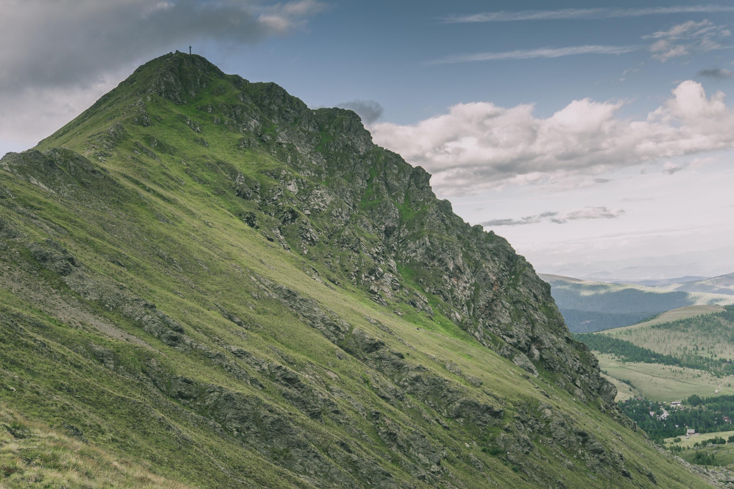
Circular trail over the Falkert
On this moderately difficult hike starting at the parking lot of Falkertsee, the first section takes you up to the 2,355-meter-high Rodresnock. From there, the route continues over the Falkertscharte to Falkert. The return path goes via the Hundsfeldscharte and leads you back to your starting point. The paths of the route consist partly of gravel, scree, and rock. Sturdy hiking boots and possibly poles are highly advantageous. Since there are no refreshment stops along the way, you should bring enough provisions. You will be rewarded for the sometimes strenuous route with a magnificent view of the surrounding mountain landscape.