Lake Maggiore: The best hiking trails for your holidays!
Lake Maggiore extends over southern Switzerland and northern Italy. Situated in the picturesque Alps, the lake with its surrounding mountains and shorelines is considered a dream destination for nature lovers. Here you will find the perfect conditions for long hikes in the pristine mountain landscapes.
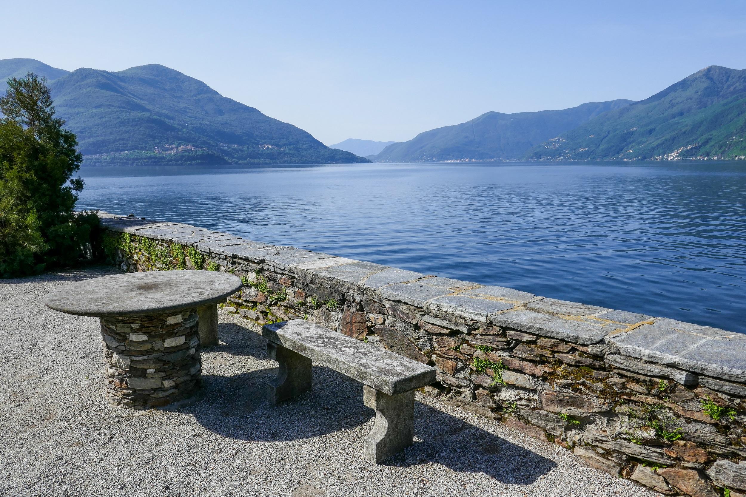
Table of contents
Lake Maggiore - 8 special hiking trails
Mergugno - Mount Gridone
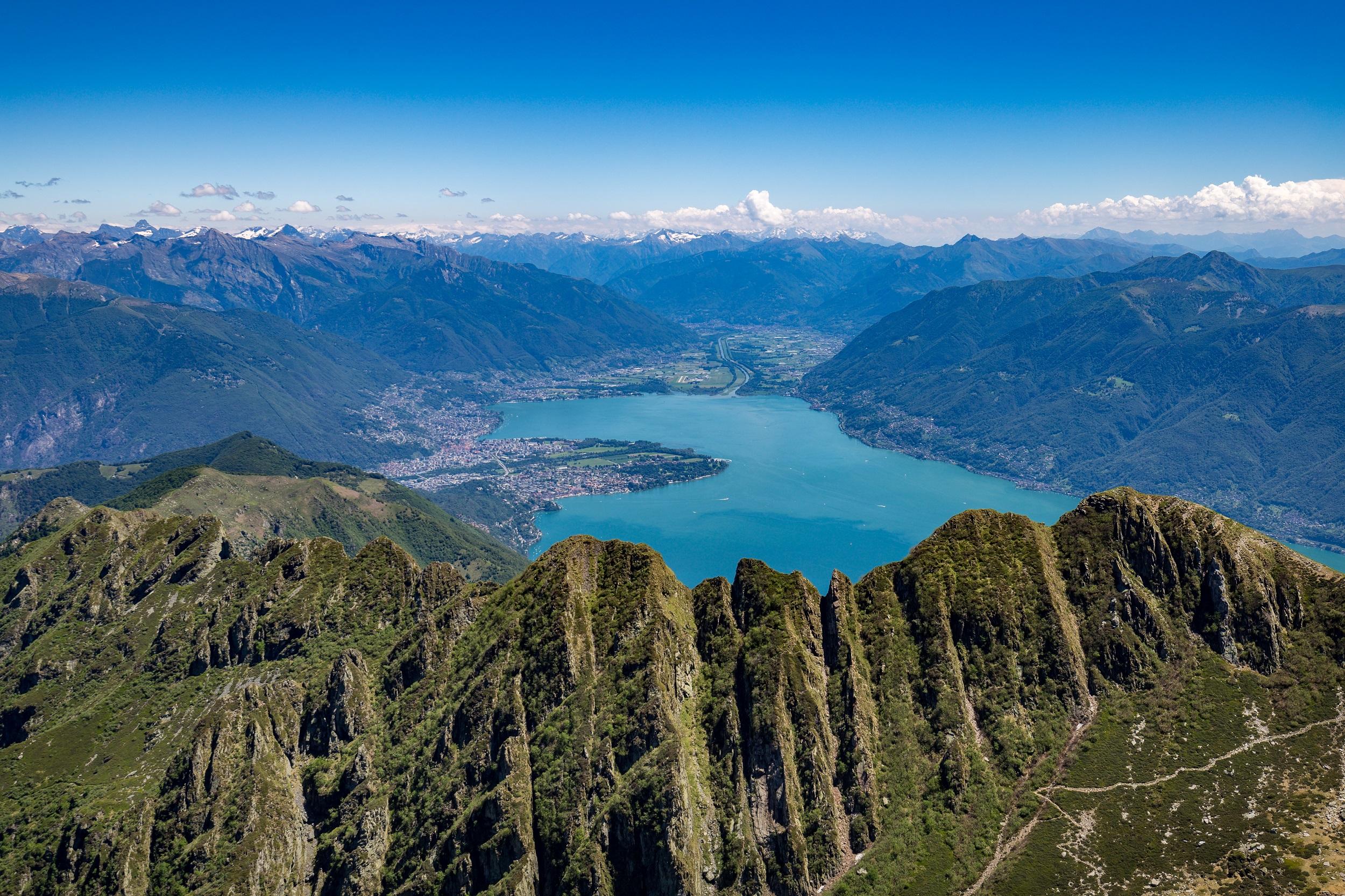
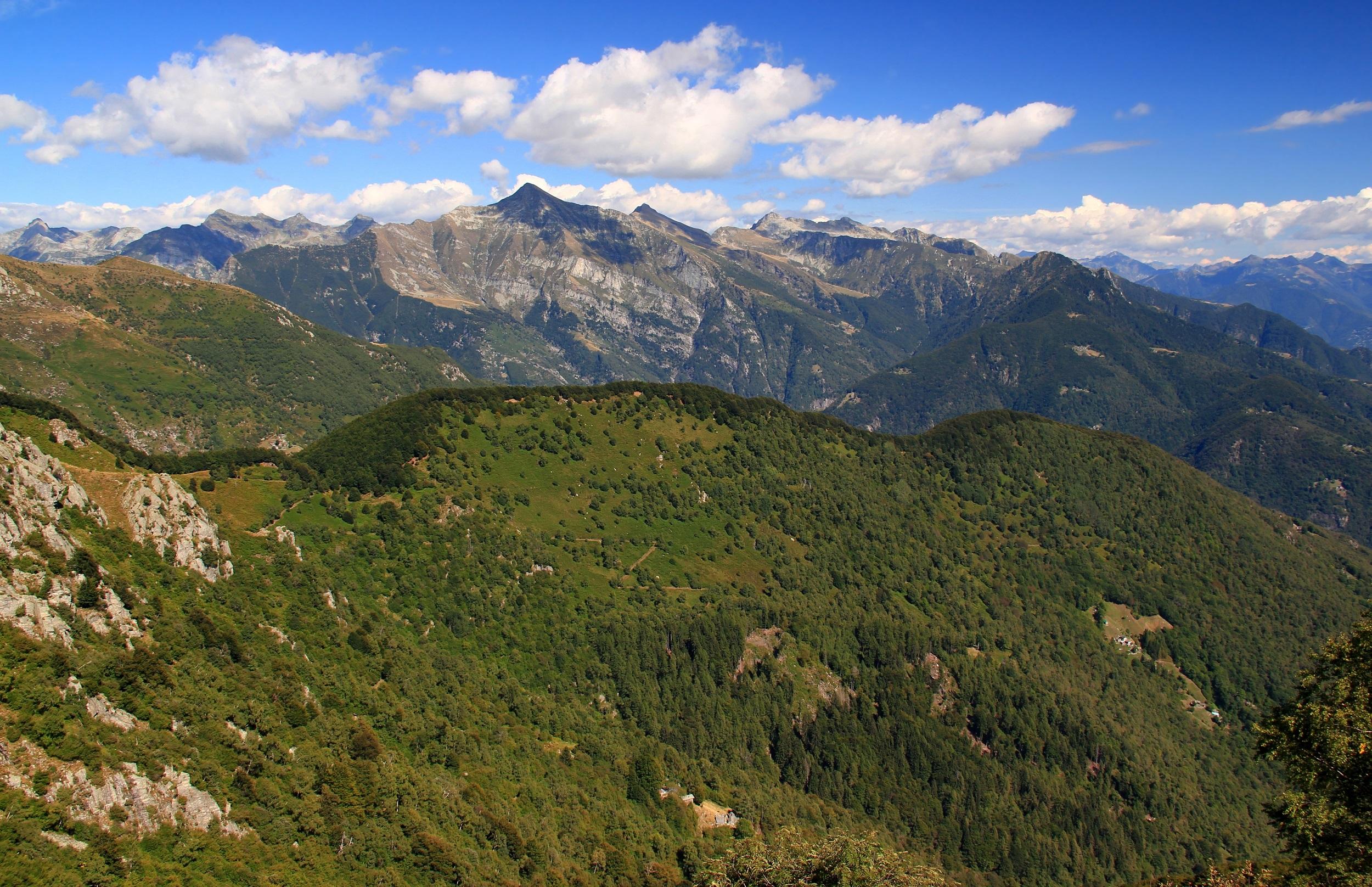
One of the most popular routes is the tour from the parking lot in Mergugno to Monte Gridone, which takes between five and six hours. You cover not only more than 10 km but also almost 1,200 meters in altitude. Particularly impressive are the sunrises and sunsets. From both Monte Gridone and the Rifugio al Legn shelter, you can enjoy breathtaking panoramic views of the Alps. During the hike, you pass several highlights. The historic mountain huts are particularly worth seeing, some of which invite you to stop for a meal. Delicacies are also served at Rifugio al Legn.
Cimetta - Cardada - Orselina
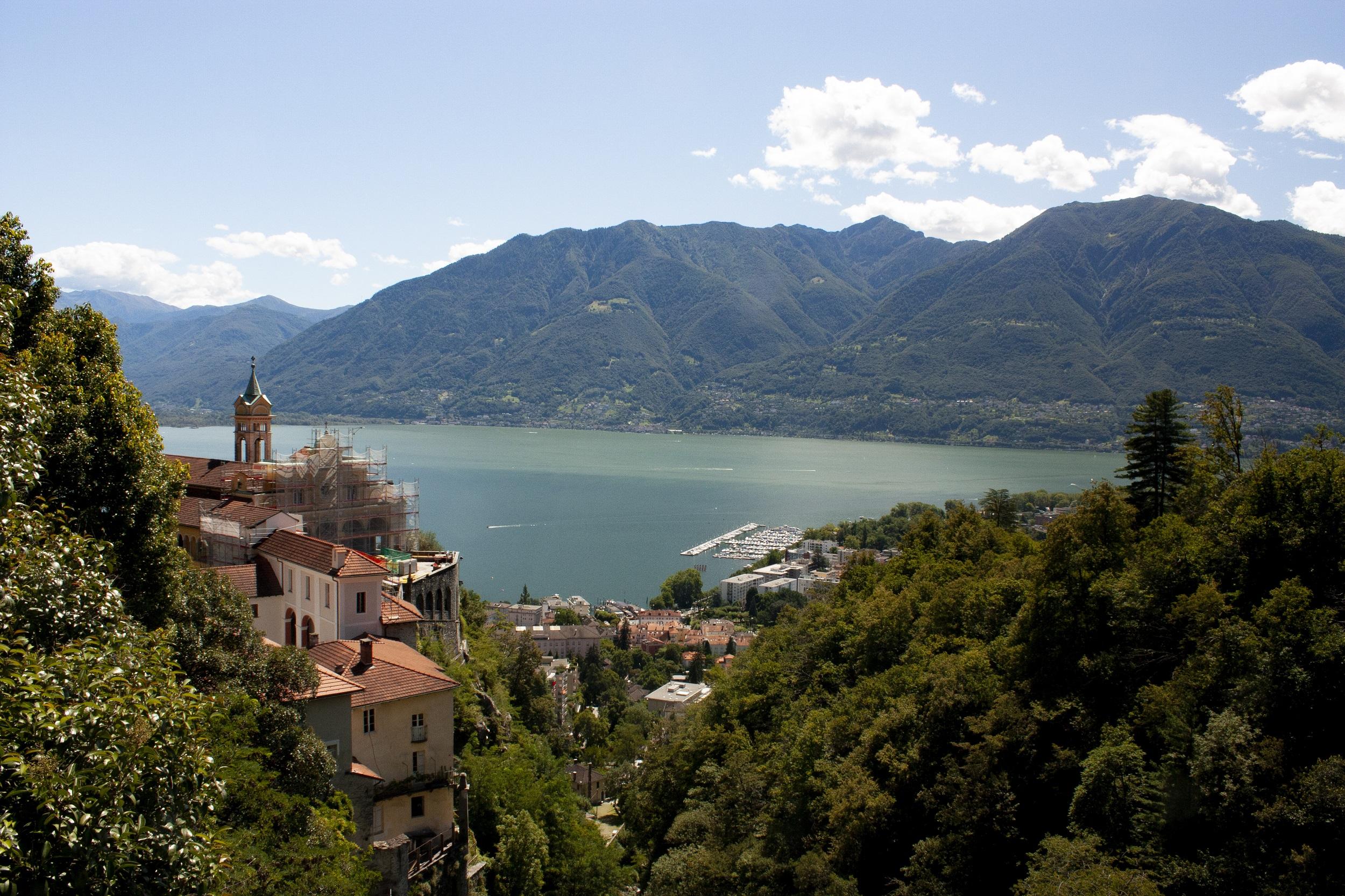
The hikes from Lake Maggiore up to the mountain peak are extremely challenging and are especially recommended for experienced athletes. If you prefer to explore the alpine landscape more leisurely, you can also take the cable car to the summit and start your hike down into the valley from there. The route measures 7.8 km, and you will need between two and three hours for the descent with almost 1,300 meters of elevation. Along the way, you will pass several rest stops and be rewarded with spectacular panoramic views of Lake Maggiore. In the lower elevations, you will hike through forest sections and to the pilgrimage site Madonna del Sasso.
Ascent to Monte Gambarogno
The summit of Monte Gambarogno is at an elevation of 1,734 m and can be reached with a challenging hike. This begins at the shore of Lake Maggiore and takes about five hours. You will cover nearly 12 km and face a total ascent of 852 meters in altitude. The effort is rewarded at the latest with the view from the summit of Monte Gambarogno. Even on the way there, you will discover some of the scenic highlights of southern Switzerland, such as the alpine rose heaths and the sparse forests. At higher altitudes, you can even expect snow in spring and autumn.
High Hill Path
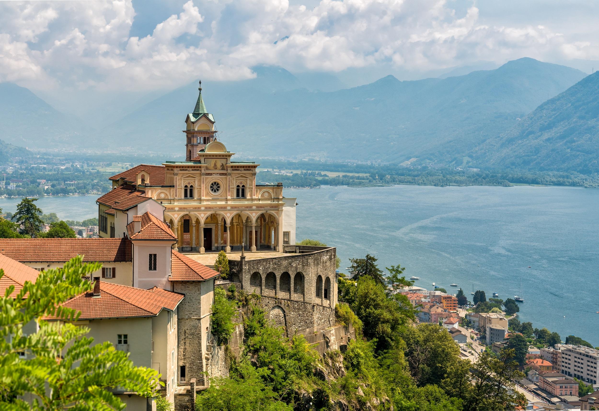
From Contra, you hike on the old pilgrimage path to the pilgrimage church Madonna del Sasso. The hiking route Sentiero Collina Alta runs from Contra to Orselina. You start in Contra and follow the signpost to Monti della Trinità. From here, the path gently ascends through a chestnut forest. A highlight of the hike is the donkey-back bridge over the Navegna. Again and again, you are presented with a magnificent view of Lake Maggiore and the towns of Locarno and Ascona. You pass the valley station of the Orselina-Cardada-Cimetta cable car before tackling the last stretch.
Cima di Morissolo circular hike from Il Colle
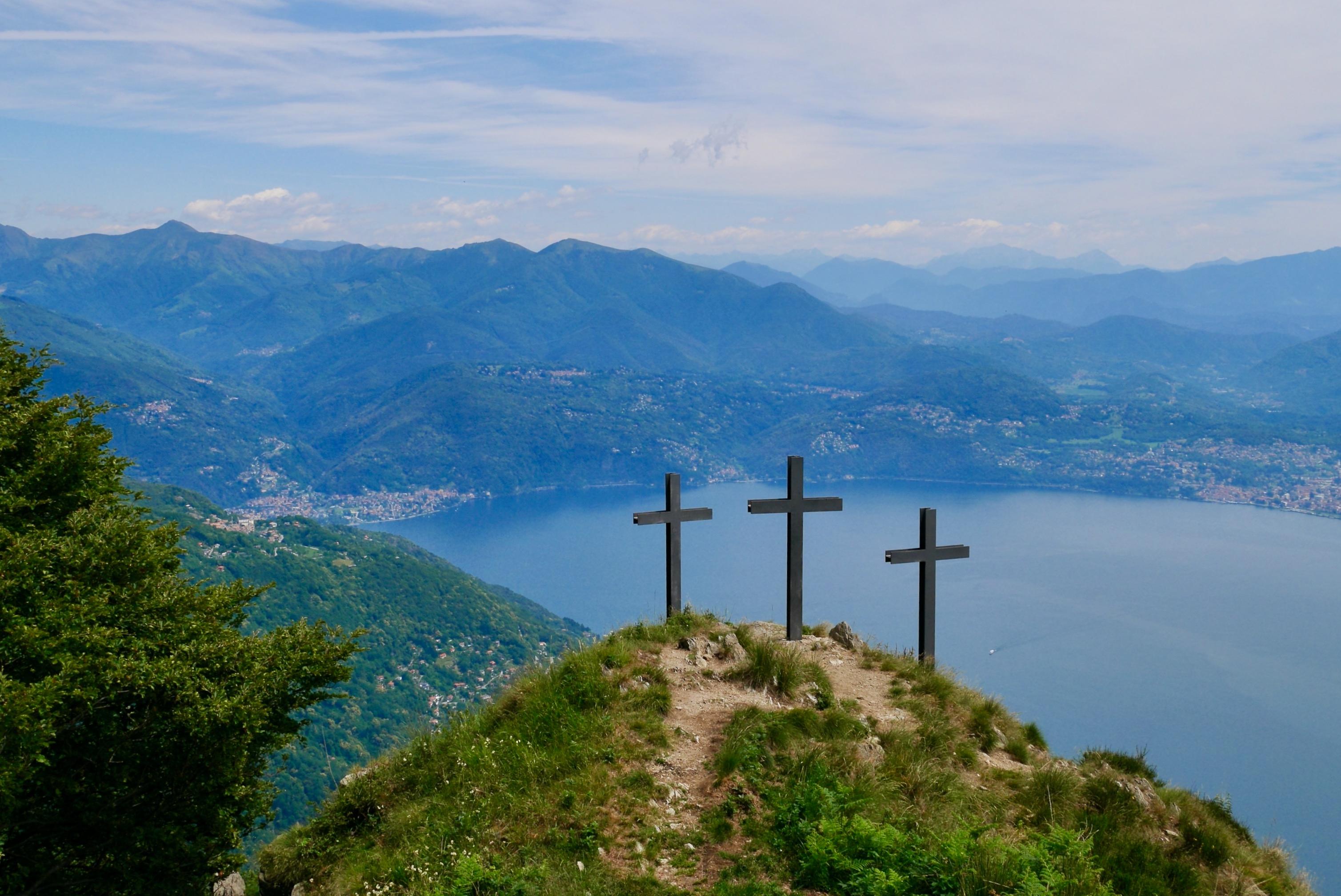
As a peak that extends far towards Lake Maggiore, the Cima di Morissolo offers a unique view over the entire lake. This fantastic vantage point can be reached with a short and equally beautiful circular hike of about 7.1 kilometers. It starts from the parking lot at the Il Colle pass. The path initially leads through an idyllic mountain forest and finally, without much effort, up to the Cima di Morissolo. Afterwards, it passes by the fortifications of the Linea Cadorna from the First World War. With the great view of pretty mountain slopes, it then returns to Il Colle.
Ascent to Pizzo Leone
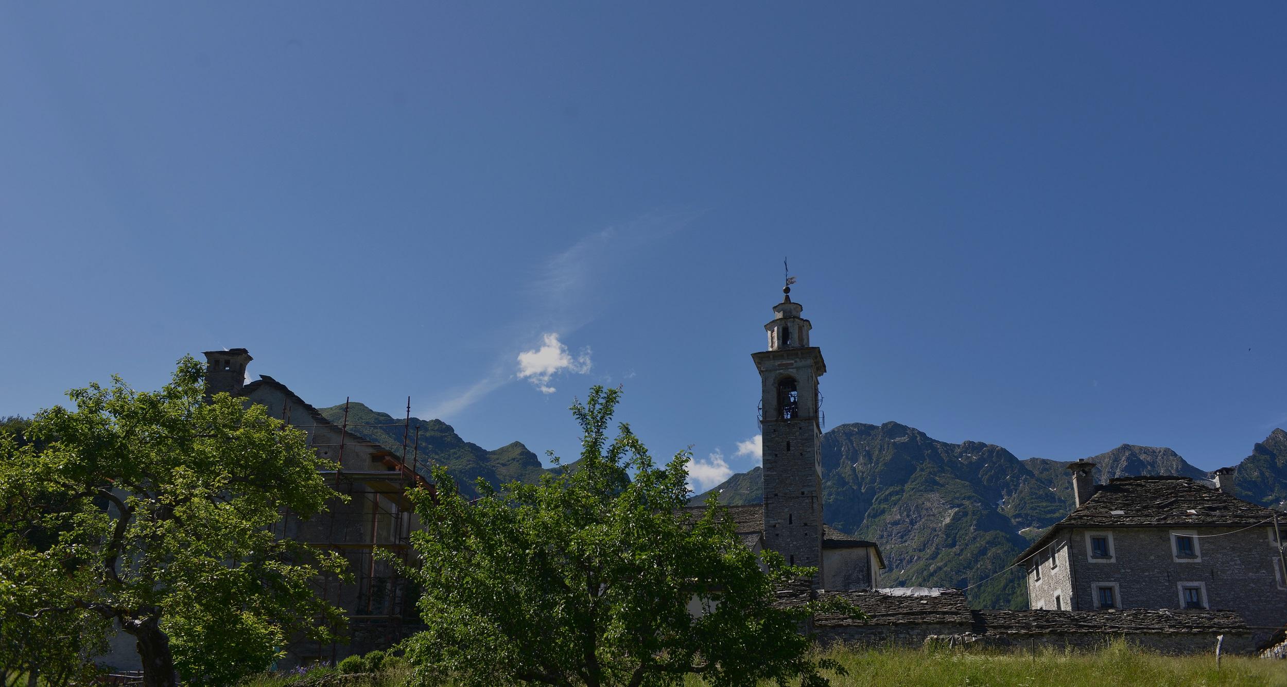
One of the most popular routes leads from Rasa up to Pizzo Leone, from where you can not only see as far as Italy but also enjoy a breathtaking view of Lake Maggiore. The hiking trail is a total of 12 km long. Hikers overcome 950 meters in altitude along the way. Plan about five hours for the entire hike and take breaks to marvel at the Alpine world. The circular hike brings you back to the tranquil village of Rasa, which is completely car-free. The picturesque mountain village enchants you with its unique charm and invites you to linger.

Monte di Comino circular hike
The mountain peak is at 1,200 m and can be easily reached by cable car or on foot. The circular trails around the mountain top, which take about two hours, are very popular. You pass charming mountain huts, historic chapels, and breathtaking viewpoints around the Aula hill. The route is only 4.5 km long and can be completed at any time thanks to the paved path. Particularly worth seeing are the small church Madonna della Segna and the dense beech forests you pass through. The panoramic trail repeatedly promises impressive views over the Alps of Switzerland and Italy.
From Monte Verità to Ronco
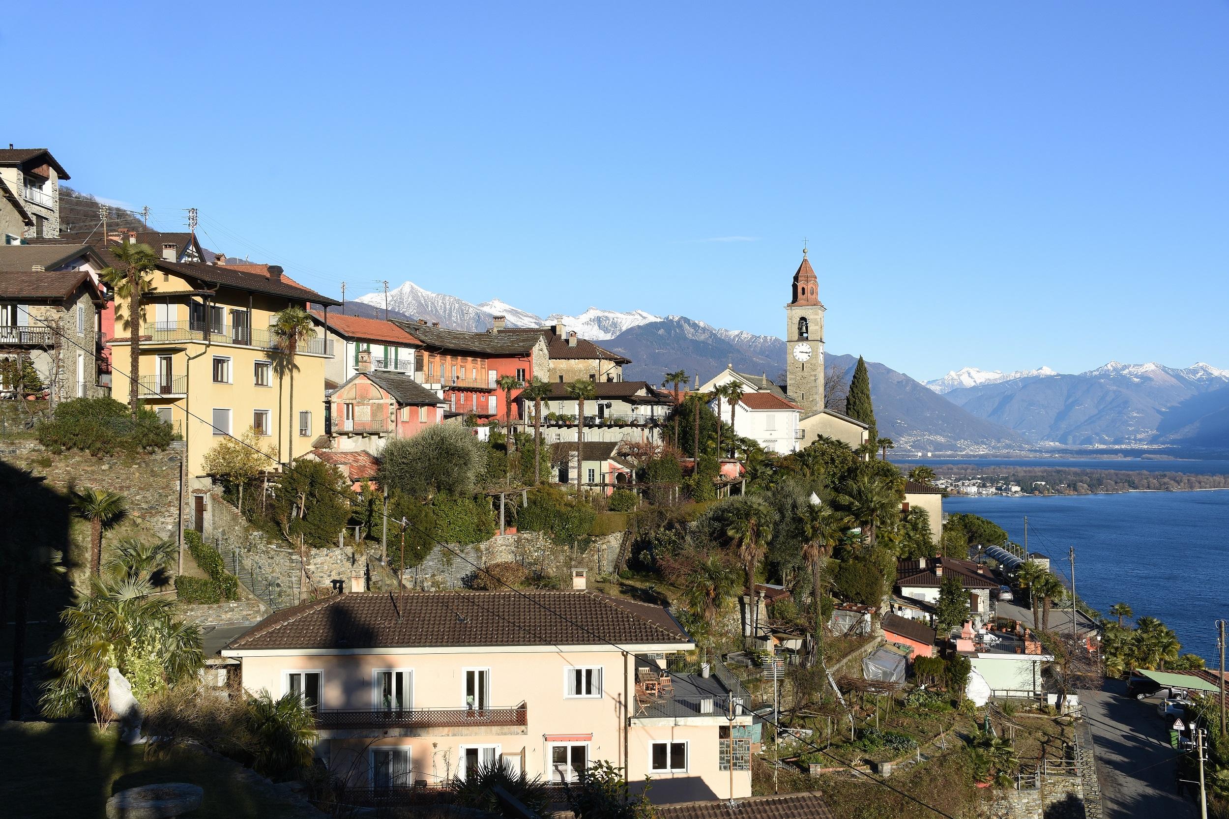
Many artists, like the writer Ilse Gropius, found their inspiration on Monte Verità. Perhaps it is a magical place because the continental plates of Africa and Europe meet beneath the hill. A particularly scenic tour leads from Monte Verità to Ronco. On the way, you can enjoy a magnificent view from the "balcony over Lake Maggiore," as Monte Verità is often called. A detour to the cemetery is worthwhile: here, celebrities like Erich Maria Remarque or Richard Seewald found their final resting place. From Ronco, it goes down over 800 steps to the lake.