Costa Blanca: The best hiking trails for your holidays!
Picturesque sandy beaches, a turquoise Mediterranean Sea, and a year-round warm climate make the Costa Blanca one of the most sought-after travel destinations in Europe. Those who enjoy being active with their four-legged friend on a vacation in Spain have a wide selection of hiking trails. Here you will find short paths to the beach or challenging routes in the mountains.
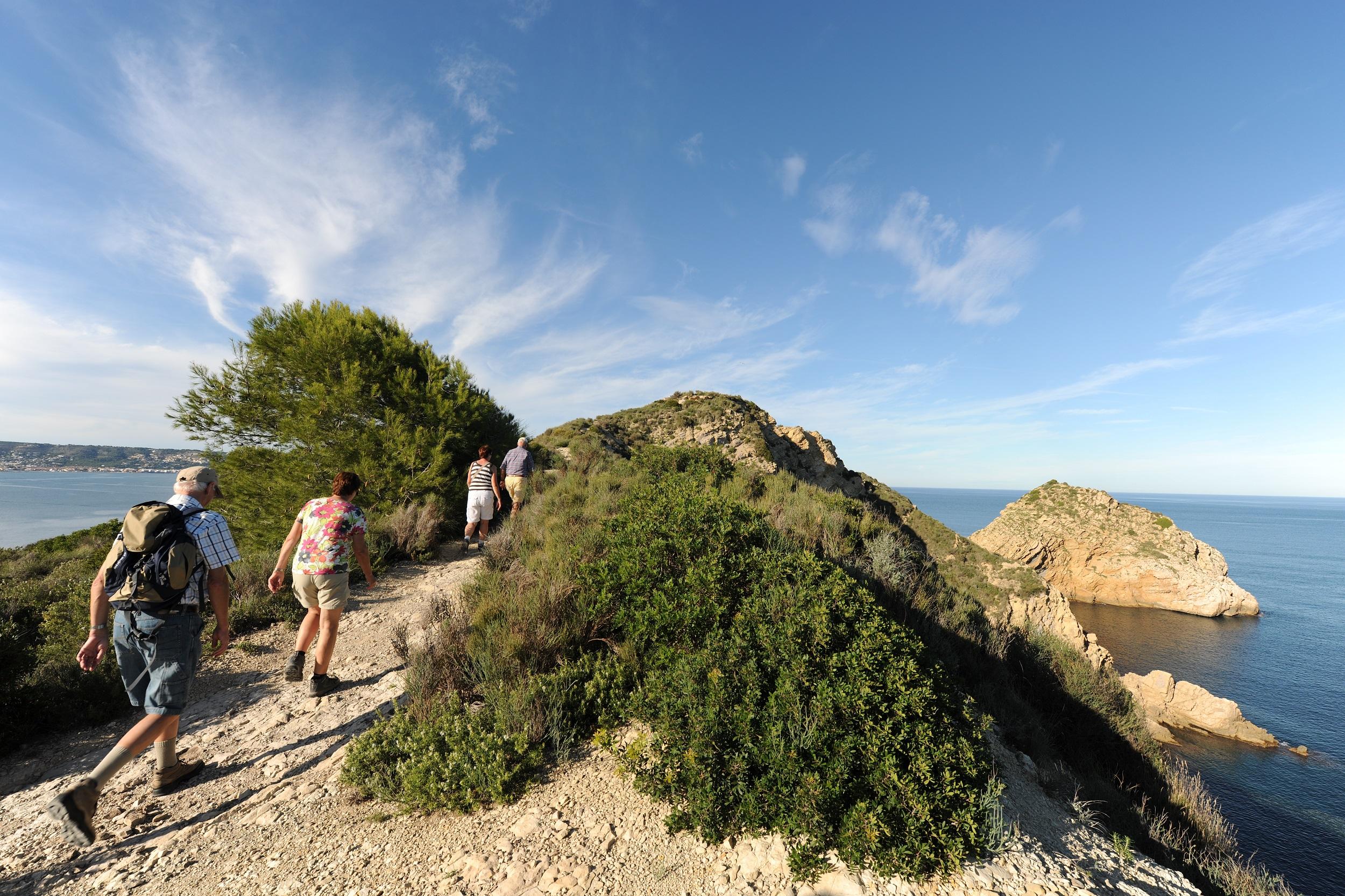
Table of contents
Costa Blanca - 8 special hiking trails
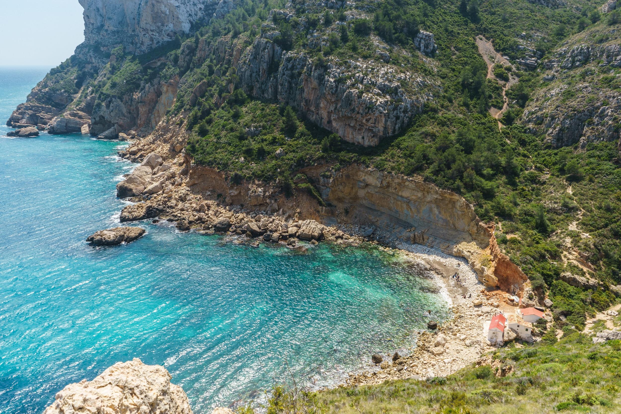
Along the hiking route Ruta de los Acantilados
With a total length of only 4.7 km, you can easily complete the Ruta de los Acantilados in just over two hours. You will encounter a variety of inclines totaling nearly 350 meters in elevation. Along the way, you will pass some impressive caves and repeatedly enjoy breathtaking views of the turquoise Mediterranean Sea. Especially in the summer months, but also on warm days during the transitional seasons, a refreshing swim in the sea is recommended after the hike. At the very end of the Ruta de los Acantilados, a picturesque cave awaits you right by the sea, offering the perfect conditions for swimming and relaxing.
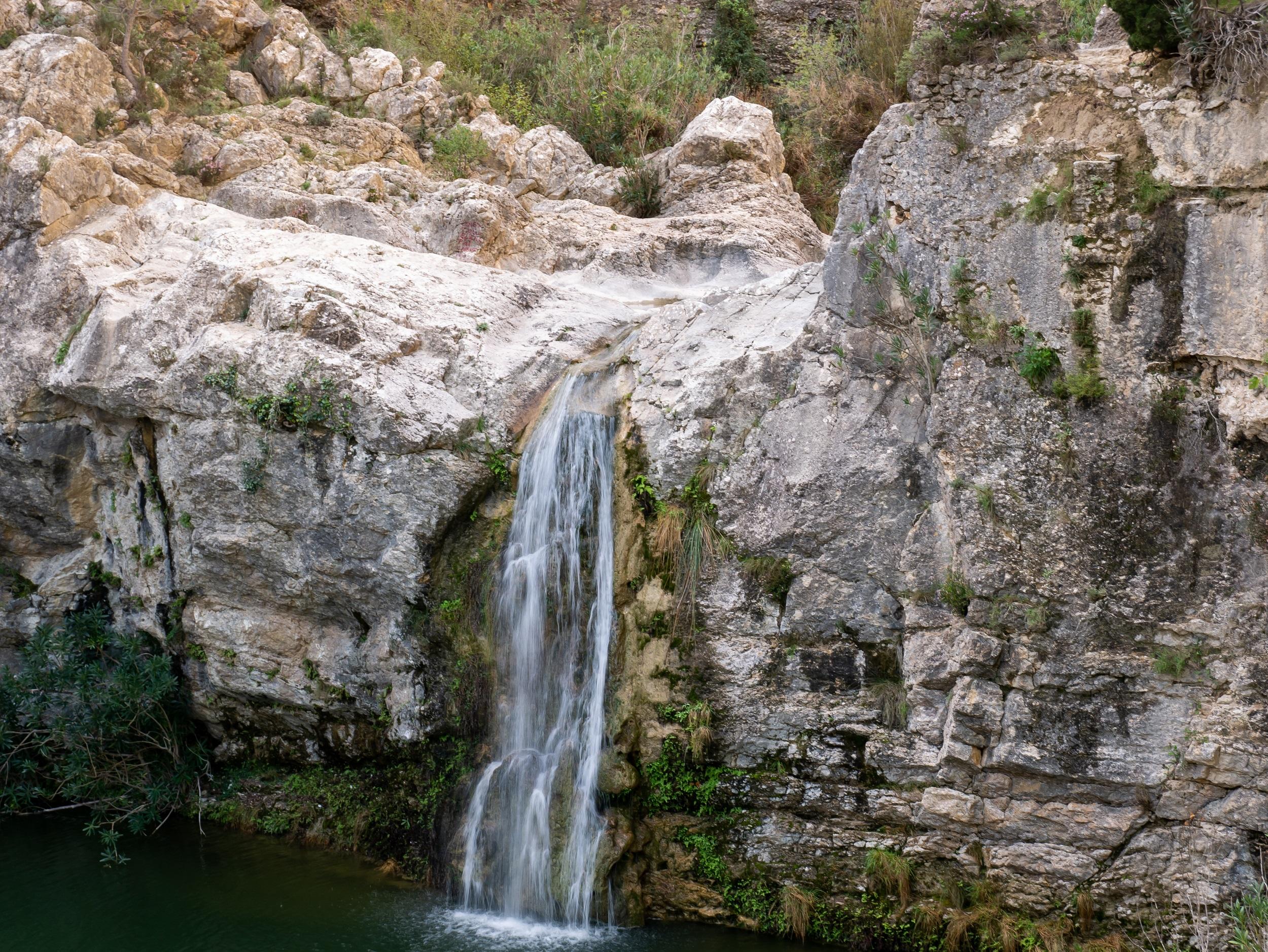
Through the hiking area Barranc de l’Encantà
One of the most popular routes through the Barranc de l’Encantà is 10.1 km long. You cover a total of 367 meters in altitude and are on the move for just under three hours. Thanks to the Mediterranean climate, the hikes are possible throughout the year. The hiking trails are well signposted, and you pass numerous bird-watching sites. During your hikes, you walk through forests of olive and fig trees. The highlight is the turquoise blue lake Barranc d’Almudaina y Planes, which is considered one of the dream destinations of the region, especially in the summer months. A swim cools you down from the exertions of the walk and you enjoy the view.
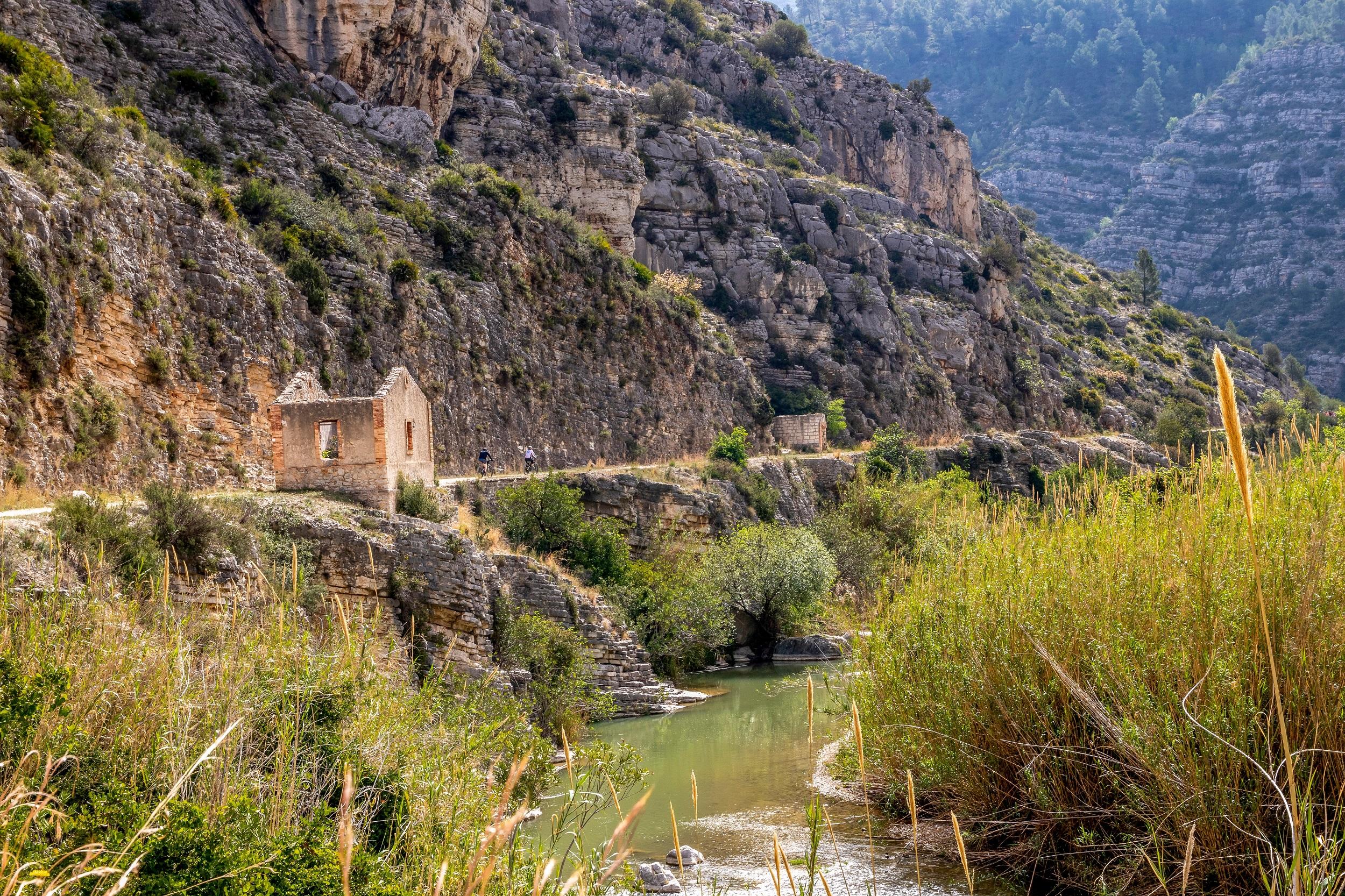
Hiking on the Via Verde del Serpis
The pleasant climate all year round and the evergreen, Mediterranean vegetation promise perfect conditions for hiking on the Via Verde del Serpis in every month. The hiking trail along the river measures an impressive 40 km, so you have several stages ahead of you if you want to explore the entire route. The trail takes you past numerous sights such as the railway line between the towns of Gandía and Alcoy, which was already in operation in the 19th century. A popular spot for a short break is the old hydroelectric power plant Fábrica. The Sorollosa waterfall in the limestone mountains is considered a scenic highlight.

Serra Grossa Loop Trail
You are on the road through the Serra Grossa for about one and a half hours. On the tour, you overcome an elevation difference of 197 m. By the way, the name translates to "thick mountain range." Paved and signposted paths lead up the mountain. Hikers often choose Calle Obispo Victorio as the starting point. The path steadily leads uphill. Below you, the roofs of Alicante can be seen. It is worth stopping frequently to look over the sea and the city. On the other side, you can see the distinctive mountains in the hinterland of the Costa Blanca. At the top, the terrain is relatively rocky.
Greenway Trail
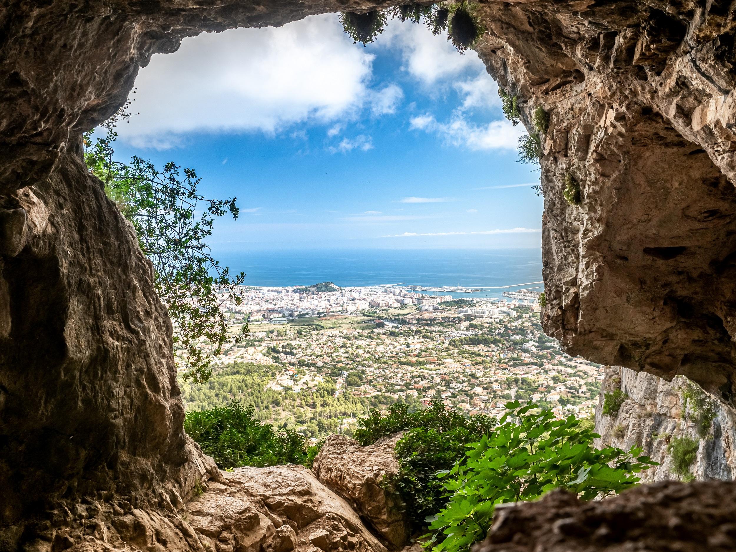
The 750-meter-high Montgo is the namesake of the over 2,000-hectare nature park. The rugged rock drops abruptly to the Mediterranean Sea, leaving behind a breathtaking panorama. In this unique natural setting, you can choose between short and long as well as easy to challenging hiking routes with cozy rest areas and magnificent viewpoints. An attractive and even hiking trail is the Greenway Trail. From the port city of Dénia, a path leads you along the former railway line past fragrant almond trees, orange groves, and historic mansions. You cross the Alberca River over a bridge and finally reach the small village of El Verger in the province of Alicante.
Lighthouse Road
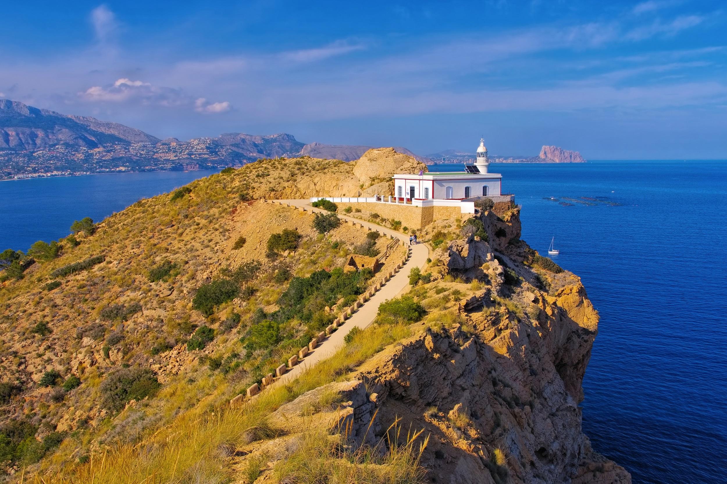
The coast of Galicia is characterized by its rugged charm. This makes the Camino del Faro a wonderful hiking trail for nature lovers. Sometimes you will encounter rugged coasts, sometimes absolute moments of silence high above the sea. And sometimes romantic beach coves promise you ideal opportunities for a refreshing break. In addition to the scenic beauty, dreamy fishing villages, the relaxing roar of the waves, and the eight lighthouses offer interesting stopovers. The Camino del Faro measures a total of 200 kilometers and runs along the coast from Malpica to Finisterre. It can be well managed by experienced hikers in ten daily stages.
Calpe - Ecological Trail - Cala Advocat
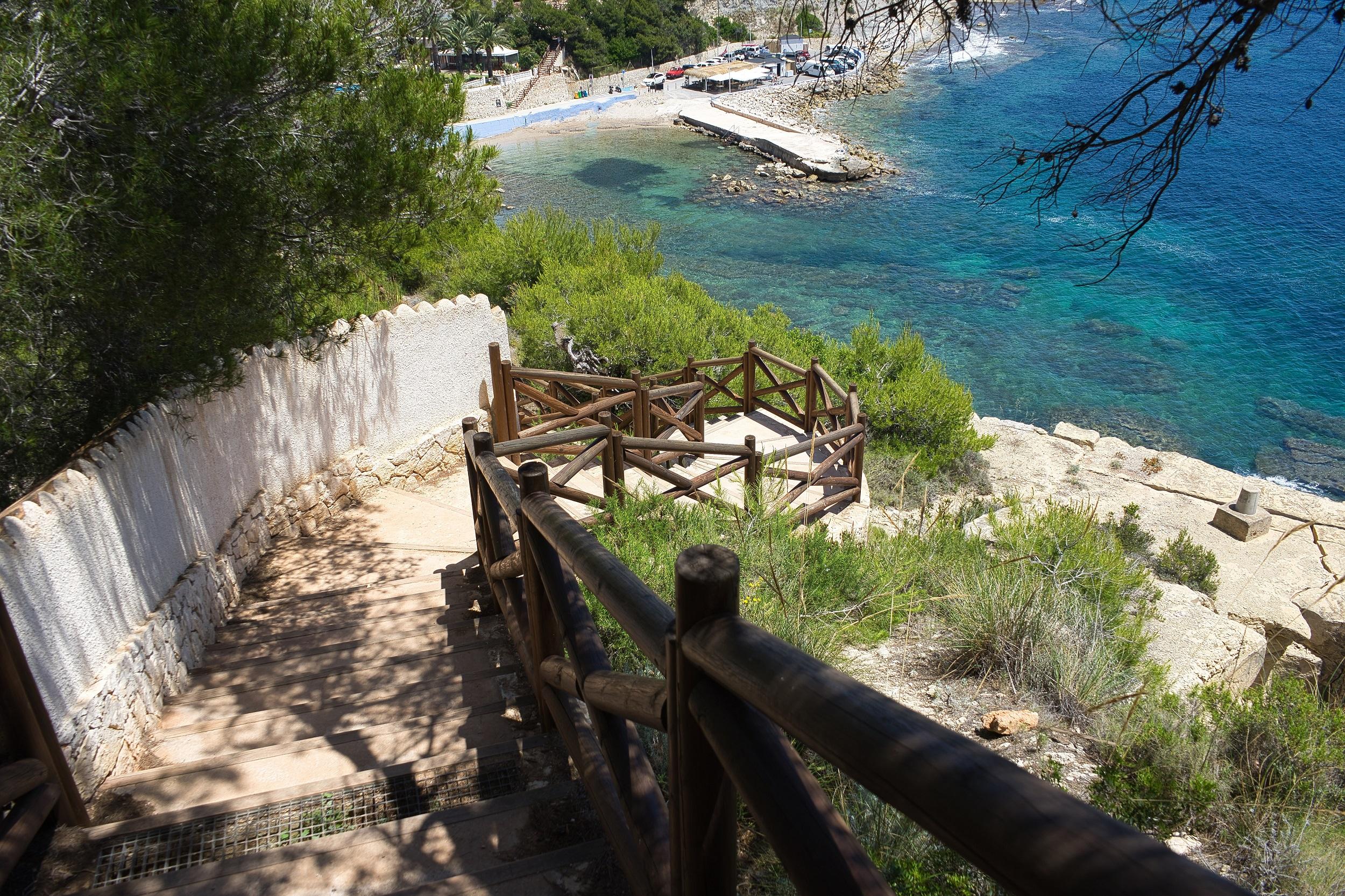
The 8.2 km long route begins in Calpe and takes you along the picturesque coastal sections to Cala Advocat. In the warm summer months, the bay invites you to swim before you start the return journey. Hikers are on the move for less than two hours and cover 100 meters in altitude. On the hiking trail, you pass some steep coasts from which you can enjoy a wide panoramic view. However, the highlights are the small rocky coves, which you can reach either on foot or with a short climb. There you can enjoy peace and relaxation away from the busy beaches and refresh yourself by swimming in the Mediterranean.
Circular path near Xaló
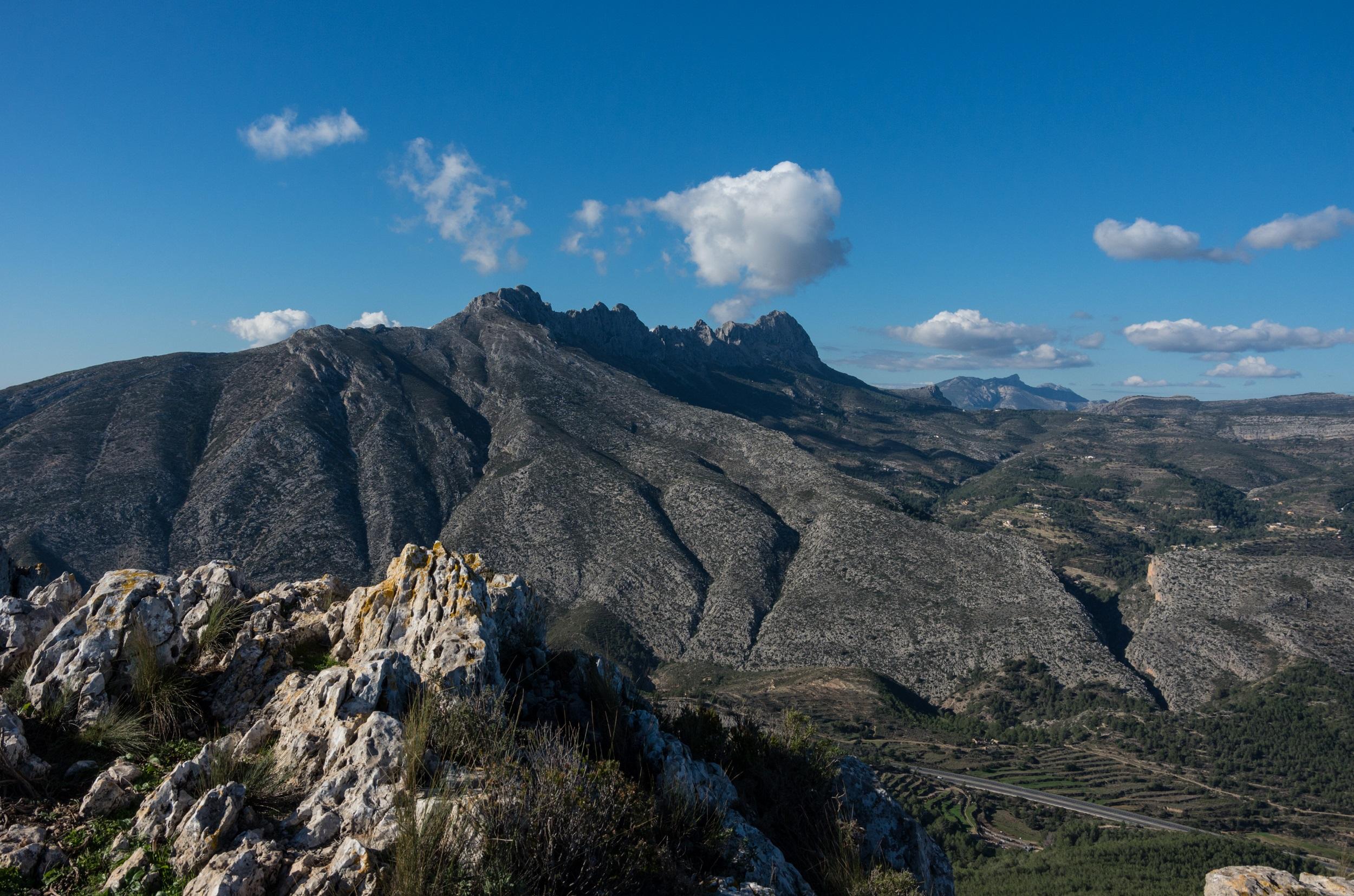
Several cycling and hiking trails lead through the nature reserve. On the approximately 16 km long circular route near Xaló, you will discover most of the highlights. The hike begins at the Barranco del Masserof and takes you through the Sierra de La Devesa before the ascent to the cliffs of Ferrer begins. You will cover 400 meters in altitude and reach the summit of the Sierra del Ferrer, which is at 900 m. From here, you can enjoy an indescribable panoramic view of the evergreen nature. The hiking trails are well signposted and mostly easy to manage. Plan five hours for the circular route.